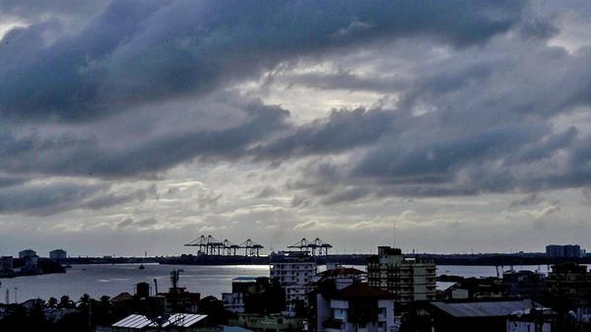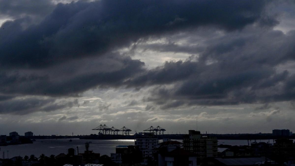


The severe cyclonic storm ‘Dana’ is anticipated to make landfall between Bhitarkanika National Park and Dhamra Port in Odisha early Friday, with wind speeds reaching up to 120 kilometers per hour (km/h).
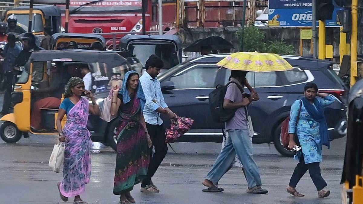
The Indian Meteorological Department (IMD) has warned that several coastal districts in Odisha and southern West Bengal will experience heavy to very heavy rainfall. Additionally, Jharkhand will also face significant downpours due to the cyclone.
Key Developments:
- Odisha Impact Zones:
- High-risk areas identified include Kendrapara, Bhadrak, and Balasore, where wind speeds could hit 120 km/h, along with potential tidal surges of up to 2 meters.
- Extremely heavy rainfall is expected in Balasore, Mayurbhanj, and Jajpur, while other parts of Odisha will see light to moderate rain, starting from the evening of October 23.
- The Odisha government is working to evacuate 1 million people from coastal regions, with about 300,000 moved by Wednesday evening and the remaining expected to be relocated by Thursday morning.
- All marine activities, including fishing, are suspended until the storm passes, with fishermen having returned to shore by Tuesday.
- West Bengal Impact Zones:
- Heavy to very heavy rainfall is forecasted for multiple districts, with isolated areas experiencing extremely heavy rainfall (over 21 cm).
- Coastal districts such as South 24 Parganas, East Midnapore, and Howrah are at high risk from expected winds of 100-110 km/h and tidal surges.
- Other districts including North 24 Parganas, Kolkata, Hooghly, and Nadia will also see heavy rainfall, leading to potential localized flooding.
- Kolkata airport will halt operations for 15 hours starting at 6 pm Thursday due to the cyclone’s expected impact.
- Jharkhand Impact Zones:
- The southern and eastern districts, including East Singhbhum, West Singhbhum, and Saraikela-Kharsawan, are expected to be heavily impacted by rain and strong winds.
- Localized flooding may occur in areas near rivers in East Singhbhum and Dumka.
- Winds of 60-70 km/h, coupled with heavy rain, could affect districts like Ranchi, Bokaro, and Dhanbad, causing potential infrastructure damage and waterlogging.
Odisha’s Preparations: With the cyclone approaching, the Odisha government is implementing an extensive evacuation plan for about 1 million individuals in coastal districts. Chief Minister Mohan Charan Majhi reported that over 30% of the targeted evacuees were moved to safe locations by Wednesday evening and assured that the remaining would be relocated by Thursday morning. He urged residents not to panic and reassured them of the safety measures in place at cyclone shelters.
The IMD predicts that Cyclone Dana will make landfall between Bhitarkanika National Park and Dhamra Port early Friday. The distance separating Dhamra in Bhadrak and Bhitarkanika is approximately 70 km. The landfall process will commence on the night of October 24 and continue until the morning of October 25.
The maximum wind speed during landfall is expected to be around 120 km/h. IMD DG Mrutyunjay Mohapatra indicated that landfall is typically a slow process lasting around 5-6 hours, with peak conditions occurring during this period. He added that the cyclone is likely to move northwest and intensify into a severe storm over the central and adjoining northwest Bay of Bengal before crossing the Odisha and West Bengal coasts between Puri and Sagar Island.
The IMD has warned of a multi-hazard situation as the cyclone approaches, with forecasts of heavy rainfall, high winds, and tidal surges of up to 2 meters expected. Areas in Kendrapara, Bhadrak, and Balasore are particularly vulnerable to inundation, leading the IMD to recommend further evacuations from these regions.
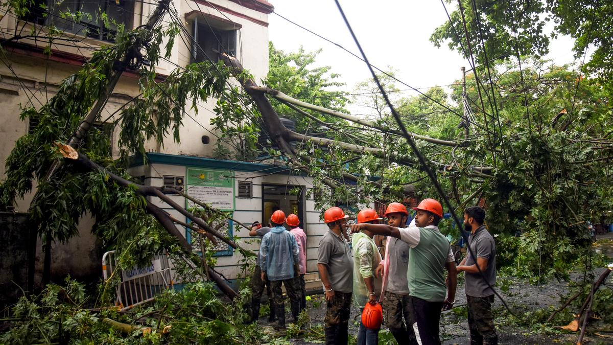
Wind speeds in Kendrapara, Bhadrak, and Balasore are projected to be 100–110 km/h, gusting to 120 km/h, accompanied by heavy rainfall and tidal surges during landfall. The IMD has cautioned of potential damage, including uprooting trees, destruction of weak structures, and damage to electrical infrastructure.
The Odisha government has categorized districts based on risk, with Kendrapara, Bhadrak, and Balasore in the highest risk category. Mayurbhanj falls into the second category, with wind speeds expected at 80-90 km/h. Jagatsinghpur, Cuttack, and Jajpur are in the third category, where wind speeds are estimated at 60-80 km/h, while Puri, Khurda, Dhenkanal, and Keonjhar are in the fourth category with expected speeds of 60-70 km/h.
To ensure public safety, the state has deployed 288 rescue teams from various agencies, including the National Disaster Response Force (NDRF) and Odisha Disaster Rapid Action Force (ODRAF). Other districts at risk include Angul, Nayagarh, Boudh, Ganjam, Deogarh, and Sambalpur.
The IMD also forecasts significant rainfall for the state, expecting light to moderate rain across most locations, with heavy rainfall (7-11 cm) in isolated areas over Balasore, Bhadrak, Kendrapara, Jagatsinghpur, Puri, and Khordha beginning on the evening of October 23.
Heavy to very heavy rainfall is projected for various regions on October 24 and 25, with some areas, including Balasore, Mayurbhanj, and Jajpur, likely to experience extremely heavy rainfall exceeding 21 cm.
All marine activities, including fishing, have been banned in the Bay of Bengal until the cyclone passes. Fishermen had returned to the coast by Tuesday evening.
Adverse weather conditions began affecting parts of Kendrapara and Bhadrak on Wednesday afternoon, with the IMD noting that the outer bands of Cyclone Dana were impacting the eastern coastline. Consequently, numerous activities, including the functioning of the Orissa High Court, Biju Patnaik International Airport, and local educational institutions, have been suspended.
West Bengal’s Response: In West Bengal, coastal areas are experiencing moderate to heavy rain and gusty winds since early Thursday, while Kolkata is under overcast conditions with intermittent showers. Fishermen have been advised to stay away from the sea, as gale-force winds reaching 90-100 km/h and gusting to 110 km/h are expected.
The wind speed is predicted to increase to 100-110 km/h, gusting to 120 km/h by Friday morning before tapering off. The weather forecast indicates heavy to very heavy rainfall, with extremely heavy downpours in isolated locations across South Bengal districts, including North and South 24 Parganas, Purba and Paschim Medinipur, Jhargram, Kolkata, Howrah, and Hooghly.
Public transportation in Kolkata may face disruptions from the evening, with Eastern and South Eastern Railways canceling numerous trains scheduled for Thursday and Friday. Over 170 express and passenger trains operated by South Eastern Railway have been canceled, with further cancellations expected for local services.
The Indian Coast Guard is on high alert, ready to respond quickly to any emergencies in the Bay of Bengal, while the NDRF has deployed several teams across southern Bengal to address potential crises.
Ferry services in the Sunderbans area and along the Hooghly River have been suspended due to the worsening weather conditions, and the Kolkata Municipal Corporation has set up a control room and canceled leaves for essential personnel.
Jharkhand’s Forecast: In Jharkhand, heavy to very heavy rainfall is anticipated from Thursday night, with an ‘orange’ alert issued for the Kolhan region (including West Singhbhum, Seraikela-Kharswan, and East Singhbhum) for Friday, indicating rainfall amounts between 115 mm and 204 mm in 24 hours.
Thunderstorms and gusty winds up to 60 km/h are also possible. Six NDRF teams have been deployed in Jamshedpur and Chaibasa, with two more on standby in Ranchi to handle emergencies. Heavy rainfall is expected across various districts, impacting political activities leading up to the upcoming assembly elections set for November 13 and 20.